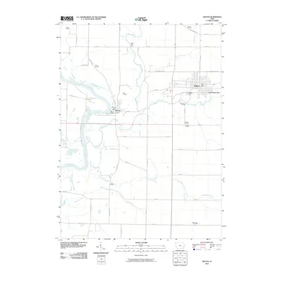
2010 Map of Wilton
USGS Topo · Published 2010About this map
Wilton and the neighboring settlement of Moscow serve as focal points in this eastern Iowa landscape, where agricultural land is partitioned by a grid of county roads like Ocean Ave and Cedar Muscatine Rd. The Cedar River meanders through the western portion of the quadrangle, joined by tributaries such as Sugar Creek and Mosquito Creek. The presence of Sugar Creek Mills and the Wilton Post Office indicates a long-standing community infrastructure centered around both local industry and civic services.
Find a feature on this map
52 named features on this map. Tap any name to fly to it.
Don’t see what you’re looking for? This feature index may not catch every label — zoom into the map to look around manually.
Map Details
Editions of this 2010 Wilton Map
This is the sole edition of this map. No revisions or reprints were ever made.
Other maps of this area

1890 · Durant
USGS Topo · 1:62,500

1891 · Wilton Junction
USGS Topo · 1:62,500

1894 · Durant
USGS Topo · 1:62,500

1901 · Rock Island
USGS Topo · 1:125,000

1901 · Stanwood
USGS Topo · 1:125,000

1910 · Rock Island
USGS Topo · 1:125,000

1916 · Edgington
USGS Topo · 1:62,500

1938 · Edgington
USGS Topo · 1:62,500

1948 · Muscatine
USGS Topo · 1:62,500

1953 · Wilton Junction
USGS Topo · 1:24,000