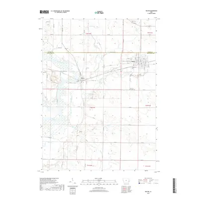
2018 Map of Wilton
USGS Topo · Published 2018About this map
Moscow and Wilton anchor this survey of the Cedar and Muscatine County borderlands, where the Cedar River winds through the western landscape. The settlement of Moscow sits near the river bend, surrounded by family-named landmarks and rural burial grounds such as Duff Cem and Healey Cem. The grid of Wilton to the east reflects its established role as a local crossroads, with several religious and community sites including Oakdale Cem and Saint Mary's Cem located on its southern outskirts.
Find a feature on this map
56 named features on this map. Tap any name to fly to it.
Don’t see what you’re looking for? This feature index may not catch every label — zoom into the map to look around manually.
Map Details
Editions of this 2018 Wilton Map
This is the sole edition of this map. No revisions or reprints were ever made.
Other maps of this area

1890 · Durant
USGS Topo · 1:62,500

1891 · Wilton Junction
USGS Topo · 1:62,500

1894 · Durant
USGS Topo · 1:62,500

1901 · Rock Island
USGS Topo · 1:125,000

1901 · Stanwood
USGS Topo · 1:125,000

1910 · Rock Island
USGS Topo · 1:125,000

1916 · Edgington
USGS Topo · 1:62,500

1938 · Edgington
USGS Topo · 1:62,500

1948 · Muscatine
USGS Topo · 1:62,500

1953 · Wilton Junction
USGS Topo · 1:24,000