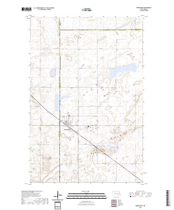
2024 Map of Wimbledon
USGS Topo · Published 2024About this map
Wimbledon sits at the intersection of three counties in this prairie landscape, serving as a focal point for the surrounding agricultural region. The town's layout is clearly defined by streets like Railway St, Center St, and Out St, reflecting its historic orientation toward rail transport. The surrounding terrain is characterized by a high density of small wetlands and depressions, providing a natural habitat that led to the establishment of the Stutsman County Waterfowl Production Area and the Barnes County Waterfowl Production Area. Local history and genealogy are anchored by the presence of Saint Boniface Cem and Prairie View Cem, which remain as permanent landmarks on the outskirts of the settlement. The map also captures the seasonal character of the region's hydrology, notably at Mud Lake, highlighting the balance between farming and conservation on the North Dakota plains.
Find a feature on this map
35 named features on this map. Tap any name to fly to it.
Don’t see what you’re looking for? This feature index may not catch every label — zoom into the map to look around manually.
Map Details
Editions of this 2024 Wimbledon Map
This is the sole edition of this map. No revisions or reprints were ever made.
Other maps of this area

1900 · Pingree
USGS Topo · 1:125,000

1951 · Spiritwood Lake
USGS Topo · 1:24,000

1951 · Courtenay
USGS Topo · 1:24,000

1951 · Kensal SE
USGS Topo · 1:24,000

1952 · New Rockford
USGS Topo · 1:250,000

1956 · New Rockford
USGS Topo · 1:250,000

1961 · Leal
USGS Topo · 1:24,000

1961 · Revere
USGS Topo · 1:24,000

1961 · Wimbledon
USGS Topo · 1:24,000

1961 · Wimbledon NE
USGS Topo · 1:24,000