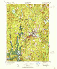
1954 Map of Winchendon
USGS Topo · Published 1955About this map
The industrial and mill history of northern Worcester County is evident across this mid-century landscape, centered on the complex of Whitney Pond and Whites Mill Pond. Several distinct settlements such as Waterville, Hydeville, and Bullardville line the local waterways, showing the dense development of the period. The Boston and Maine railroad serves as the primary corridor for movement, cutting through the terrain alongside the Millers River.
Find a feature on this map
56 named features on this map. Tap any name to fly to it.
Don’t see what you’re looking for? This feature index may not catch every label — zoom into the map to look around manually.
Map Details
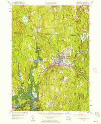
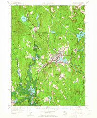
Editions of this 1954 Winchendon Map
3 editions found
Other maps of this area

1887 · Winchendon
USGS Topo · 1:62,500

1887 · Fitchburg
USGS Topo · 1:62,500

1889 · Fitchburg
USGS Topo · 1:62,500

1890 · Winchendon
USGS Topo · 1:62,500

1893 · Fitchburg
USGS Topo · 1:62,500

1894 · Winchendon
USGS Topo · 1:62,500

1898 · Monadnock
USGS Topo · 1:62,500

1900 · Peterboro
USGS Topo · 1:62,500

1931 · Fitchburg
USGS Topo · 1:48,000

1932 · Winchendon
USGS Topo · 1:48,000