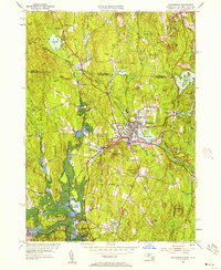
1954 Map of Winchendon
USGS Topo · Published 1957About this map
Winchendon serves as a primary hub of industrial and community life along the Boston and Maine railroad, which snakes through the valley following the course of the Otter River and its tributaries. The mid-century landscape is defined by a dense cluster of villages such as Winchendon Springs, Waterville, and Hydeville, reflecting an era when small-town industry and worker housing were tightly integrated. Institutional life is anchored by local landmarks including the Woodcock Sch, Marvin Sch, and the centrally located High Sch.
Find a feature on this map
52 named features on this map. Tap any name to fly to it.
Don’t see what you’re looking for? This feature index may not catch every label — zoom into the map to look around manually.
Map Details
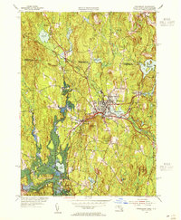
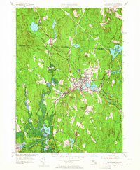
Editions of this 1954 Winchendon Map
3 editions found
Other maps of this area

1887 · Winchendon
USGS Topo · 1:62,500

1887 · Fitchburg
USGS Topo · 1:62,500

1889 · Fitchburg
USGS Topo · 1:62,500

1890 · Winchendon
USGS Topo · 1:62,500

1893 · Fitchburg
USGS Topo · 1:62,500

1894 · Winchendon
USGS Topo · 1:62,500

1898 · Monadnock
USGS Topo · 1:62,500

1900 · Peterboro
USGS Topo · 1:62,500

1931 · Fitchburg
USGS Topo · 1:48,000

1932 · Winchendon
USGS Topo · 1:48,000