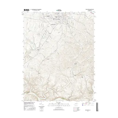
2016 Map of Winchester
USGS Topo · Published 2016About this map
The city of Winchester serves as the focal point for this Clark County survey, showing a landscape defined by its residential expansion and proximity to the Kentucky River. Modern neighborhoods such as Colby Hills, Hampton Manor, and Green Fields Estates fan out from the central business district, while the Csx Transportation rail line cuts through the northern corridor past Forrest Park. To the south, the topography grows more complex as the land drops toward the river valley, dotted with smaller rural communities like Elkin, Hunt, and Flanagan.
Find a feature on this map
111 named features on this map. Tap any name to fly to it.
Don’t see what you’re looking for? This feature index may not catch every label — zoom into the map to look around manually.
Map Details
Editions of this 2016 Winchester Map
This is the sole edition of this map. No revisions or reprints were ever made.
Other maps of this area

1892 · Richmond
USGS Topo · 1:125,000

1897 · Richmond
USGS Topo · 1:125,000

1927 · Lexington
USGS Topo · 1:48,000

1929 · Lexington
USGS Topo · 1:62,500

1952 · Union City
USGS Topo · 1:24,000

1952 · Palmer
USGS Topo · 1:24,000

1952 · Clintonville
USGS Topo · 1:24,000

1952 · Austerlitz
USGS Topo · 1:24,000

1952 · Ford
USGS Topo · 1:24,000

1952 · Winchester
USGS Topo · 1:24,000