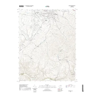
2019 Map of Winchester
USGS Topo · Published 2019About this map
The city of Winchester serves as the focal point for this Clark County landscape, where the transition from suburban residential developments to agricultural valleys is clearly defined. Northwest of the city center, planned neighborhoods such as Colby Hills, Green Fields Estates, and Hampton Manor cluster near Wesleyan Park, showing the modern expansion of the community. In contrast, the southern and eastern portions of the map follow the meandering path of Fourmile Creek and its tributaries through more varied elevation, including landmarks like Eagle Nest Hill.
Find a feature on this map
131 named features on this map. Tap any name to fly to it.
Don’t see what you’re looking for? This feature index may not catch every label — zoom into the map to look around manually.
Map Details
Editions of this 2019 Winchester Map
This is the sole edition of this map. No revisions or reprints were ever made.
Other maps of this area

1892 · Richmond
USGS Topo · 1:125,000

1897 · Richmond
USGS Topo · 1:125,000

1927 · Lexington
USGS Topo · 1:48,000

1929 · Lexington
USGS Topo · 1:62,500

1952 · Union City
USGS Topo · 1:24,000

1952 · Palmer
USGS Topo · 1:24,000

1952 · Clintonville
USGS Topo · 1:24,000

1952 · Austerlitz
USGS Topo · 1:24,000

1952 · Ford
USGS Topo · 1:24,000

1952 · Winchester
USGS Topo · 1:24,000