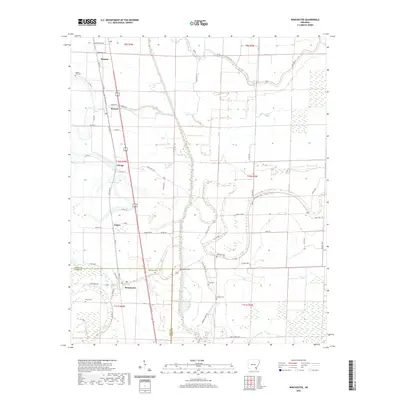
2020 Map of Winchester
USGS Topo · Published 2020About this map
Dumas and its surrounding delta landscape are defined by a network of drainage canals and meandering bayous that supported the region's agricultural development. The settlement pattern follows the established transportation corridors of Old Hwy 65 and State Hwy 159, linking rural communities like Pickens, Omega, and Yukon. This map is particularly valuable for genealogists, as it documents numerous small family and community burial grounds, including Walnut Lake Cem, Oak Grove Cem, and Scott Cem. The terrain is crisscrossed by waterways such as Amos Bayou, Dry Bayou, and Canal Number 19, illustrating the complex water management required in this part of Desha County. The transition from the more developed northern edge at Dumas to the open fields and scattered farmsteads further south provides a clear picture of the rural Arkansas economy during this period.
Find a feature on this map
65 named features on this map. Tap any name to fly to it.
Don’t see what you’re looking for? This feature index may not catch every label — zoom into the map to look around manually.
Map Details
Editions of this 2020 Winchester Map
This is the sole edition of this map. No revisions or reprints were ever made.
Other maps of this area

1935 · Cominto
USGS Topo · 1:62,500

1935 · Rotan
USGS Topo · 1:62,500

1935 · Red Fork
USGS Topo · 1:62,500

1936 · McGehee
USGS Topo · 1:62,500

1937 · McGehee
USGS Topo · 1:62,500

1953 · Greenwood
USGS Topo · 1:250,000

1955 · McGehee
USGS Topo · 1:62,500

1956 · Greenwood
USGS Topo · 1:250,000

1960 · Selma
USGS Topo · 1:24,000

1960 · Collins
USGS Topo · 1:62,500