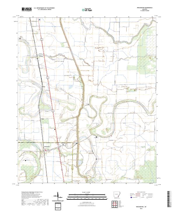
2024 Map of Winchester
USGS Topo · Published 2024About this map
The settlement of Winchester sits at the intersection of local routes and drainage networks in the Arkansas Delta. The landscape here is defined by a dense concentration of historical burial grounds, including Walnut Lake Cem, Big Mount Olive Cem, and Newton Cem, reflecting the deep-rooted community history of the region. To the east, the Felsenthal National Wildlife Refuge marks the transition into more preserved riverine bottomlands, while Canal Number 19 and Wells Bayou illustrate the extensive hydrologic management required for agricultural development. Small agricultural nodes like Pickens, Omega, and Yukon are connected by a web of rural roads such as Old Hwy 65 and State Hwy 159. This modern survey documents the persistent patterns of land use and small-town Arkansas life along the Drew and Desha county line.
Find a feature on this map
65 named features on this map. Tap any name to fly to it.
Don’t see what you’re looking for? This feature index may not catch every label — zoom into the map to look around manually.
Map Details
Editions of this 2024 Winchester Map
This is the sole edition of this map. No revisions or reprints were ever made.
Other maps of this area

1935 · Cominto
USGS Topo · 1:62,500

1935 · Rotan
USGS Topo · 1:62,500

1935 · Red Fork
USGS Topo · 1:62,500

1936 · McGehee
USGS Topo · 1:62,500

1937 · McGehee
USGS Topo · 1:62,500

1953 · Greenwood
USGS Topo · 1:250,000

1955 · McGehee
USGS Topo · 1:62,500

1956 · Greenwood
USGS Topo · 1:250,000

1960 · Selma
USGS Topo · 1:24,000

1960 · Collins
USGS Topo · 1:62,500