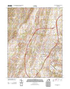
2013 Map of Winchester
USGS Topo · Published 2013About this map
Kernstown and the southern outskirts of Winchester define the landscape of this 2013 survey, where modern suburban development meets older valley settlements. The map illustrates a densely interconnected network of residential neighborhoods like Wellington Acres and Rolling Fields, situated between the major corridors of Interstate 81 and the local runs. Water remains a central geographic feature, with the historical significance of Old Town Spring and Rouss Spring documented alongside the numerous "runs" and "creeks" that carve through the terrain, such as Abrams Cr and Opequon Cr.
Find a feature on this map
332 named features on this map. Tap any name to fly to it.
Don’t see what you’re looking for? This feature index may not catch every label — zoom into the map to look around manually.
Map Details
Editions of this 2013 Winchester Map
This is the sole edition of this map. No revisions or reprints were ever made.
Other maps of this area

1894 · Winchester
USGS Topo · 1:125,000

1914 · Gerrardstown
USGS Topo · 1:48,000

1916 · Gerrardstown
USGS Topo · 1:62,500

1916 · Capon Bridge
USGS Topo · 1:62,500

1923 · Middletown
USGS Topo · 1:62,500

1923 · Capon Bridge
USGS Topo · 1:62,500

1937 · Capon Bridge
USGS Topo · 1:48,000

1937 · Gerrardstown
USGS Topo · 1:48,000

1937 · Middletown
USGS Topo · 1:48,000

1938 · Winchester
USGS Topo · 1:48,000