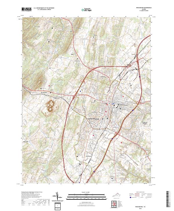
2022 Map of Winchester
USGS Topo · Published 2022About this map
Winchester serves as the heart of this Virginia landscape, where a dense network of pikes like Northwestern Pike and Valley Pike radiate from the city center toward outlying settlements such as Kernstown and Nain. The map reveals a high concentration of burial grounds and memorial sites, including the Stonewall Confederate Cem and the General Daniel Morgan Veterans Cem, reflecting the deep military and civic history of the region.
Find a feature on this map
59 named features on this map. Tap any name to fly to it.
Don’t see what you’re looking for? This feature index may not catch every label — zoom into the map to look around manually.
Map Details
Editions of this 2022 Winchester Map
This is the sole edition of this map. No revisions or reprints were ever made.
Other maps of this area

1894 · Winchester
USGS Topo · 1:125,000

1914 · Gerrardstown
USGS Topo · 1:48,000

1916 · Gerrardstown
USGS Topo · 1:62,500

1916 · Capon Bridge
USGS Topo · 1:62,500

1923 · Middletown
USGS Topo · 1:62,500

1923 · Capon Bridge
USGS Topo · 1:62,500

1937 · Capon Bridge
USGS Topo · 1:48,000

1937 · Gerrardstown
USGS Topo · 1:48,000

1937 · Middletown
USGS Topo · 1:48,000

1938 · Winchester
USGS Topo · 1:48,000