
1942 Map of Winchester
USGS Topo · Published 1942About this map
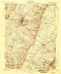
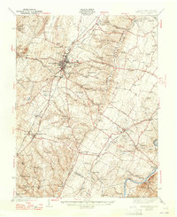
Winchester serves as the dominant hub for this region at the edge of the Shenandoah Valley, where the Valley Pike and Northwestern Grade intersect a dense network of railroads, including the Baltimore and Ohio RR and Norfolk and Western RR. The landscape is steeped in history, evidenced by the presence of Star Fort and Fort Collier north of the city center. To the southeast, the terrain shifts toward the Shenandoah River, characterized by prominent estates and experimental sites like the Blandy Experimental Farm (Univ of Va) and Carter Hall. The map reveals a highly developed rural infrastructure of the era, from the industrial site at Burnt Factory to the numerous small settlements like Double Tollgate and White Post. This survey also documents the local genealogy of Frederick and Clarke Counties through features like Wilburn Cem and Stones Chapel.
Find a feature on this map
105 named features on this map. Tap any name to fly to it.
Don’t see what you’re looking for? This feature index may not catch every label — zoom into the map to look around manually.
Map Details
Editions of this 1942 Winchester Map
3 editions found
Other maps of this area

1884 · Harpers Ferry
USGS Topo · 1:125,000

1891 · Harpers Ferry
USGS Topo · 1:125,000

1893 · Luray
USGS Topo · 1:125,000

1893 · Harpers Ferry
USGS Topo · 1:125,000

1894 · Warrenton
USGS Topo · 1:125,000

1894 · Winchester
USGS Topo · 1:125,000

1905 · Luray
USGS Topo · 1:125,000

1914 · Martinsburg
USGS Topo · 1:48,000

1914 · Gerrardstown
USGS Topo · 1:48,000

1916 · Gerrardstown
USGS Topo · 1:62,500