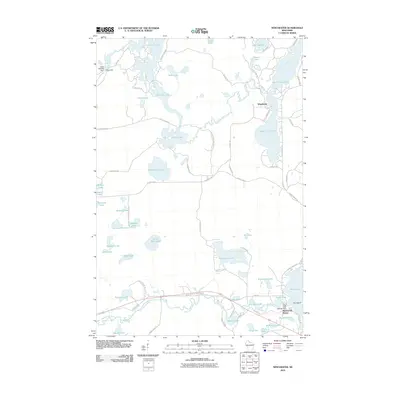
2010 Map of Winchester
USGS Topo · Published 2010About this map
Winchester and the surrounding lake country of northern Wisconsin define this 2010 landscape, where an intricate network of waterways connects deep into the woods. The Turtle River flows through a chain of bodies including North Turtle Lake and South Turtle Lake, while the Manitowish River cuts through the southern portion of the quadrangle near Manitowish Waters. Water management is evident through landmarks like Shea Dam and the Rest Lake Dam, which regulate the levels of these vast glacial basins.
Find a feature on this map
75 named features on this map. Tap any name to fly to it.
Don’t see what you’re looking for? This feature index may not catch every label — zoom into the map to look around manually.
Map Details
Editions of this 2010 Winchester Map
This is the sole edition of this map. No revisions or reprints were ever made.
Other maps of this area

1939 · Winchester
USGS Topo · 1:48,000

1940 · Mercer
USGS Topo · 1:48,000

1943 · Ironwood
USGS Topo · 1:48,000

1945 · Mercer
USGS Topo · 1:48,000

1946 · Winchester
USGS Topo · 1:48,000

1947 · Mercer
USGS Topo · 1:48,000

1953 · Ashland
USGS Topo · 1:250,000

1955 · Mercer
USGS Topo · 1:62,500

1955 · Winchester
USGS Topo · 1:62,500

1955 · Wakefield
USGS Topo · 1:62,500