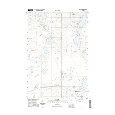
2015 Map of Winchester
USGS Topo · Published 2015About this map
Winchester and Manitowish Waters anchor this aquatic landscape straddling the line between Iron and Vilas counties. The geography is defined by a dense network of glacial water bodies, from the prominent North Turtle Lake and South Turtle Lake near the town center to more secluded basins like Circle Lily Lake and Plunkett Lake. The Turtle River and Manitowish River provide the primary drainage for the region, while the local infrastructure reflects a mix of aviation at the Manitowish Waters Airport and heritage transportation corridors.
Find a feature on this map
88 named features on this map. Tap any name to fly to it.
Don’t see what you’re looking for? This feature index may not catch every label — zoom into the map to look around manually.
Map Details
Editions of this 2015 Winchester Map
This is the sole edition of this map. No revisions or reprints were ever made.
Other maps of this area

1939 · Winchester
USGS Topo · 1:48,000

1940 · Mercer
USGS Topo · 1:48,000

1943 · Ironwood
USGS Topo · 1:48,000

1945 · Mercer
USGS Topo · 1:48,000

1946 · Winchester
USGS Topo · 1:48,000

1947 · Mercer
USGS Topo · 1:48,000

1953 · Ashland
USGS Topo · 1:250,000

1955 · Mercer
USGS Topo · 1:62,500

1955 · Winchester
USGS Topo · 1:62,500

1955 · Wakefield
USGS Topo · 1:62,500