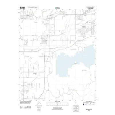
2012 Map of Winchester
USGS Topo · Published 2012About this map
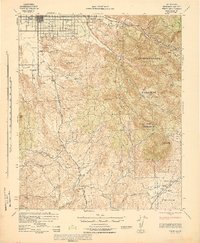
Winchester serves as the central hub of this Inland Empire landscape, situated just west of the massive Diamond Valley Lake. The 2012 survey illustrates a region defined by agricultural heritage and modern residential expansion, where local landmarks like the Hemet-Ryan Airport and Pines Airpark highlight the area's aviation history. To the north, the small communities of Valley Vista, Green Acres, and Egan dot the map along the foothills of the Domenigoni Mountains. The terrain transitions from the low-lying Domenigoni Valley and Diamond Valley to prominent heights at Double Butte and the Rawson Mountains. Water management is a visible priority, evidenced by the large reservoir and Aqueduct Rd. Notable local amenities, such as the Highland Palm Golf Course and the Rancho de Esperanza Equestrian Training Track, reflect the varied recreational and equestrian character of this Riverside County corridor.
Find a feature on this map
35 named features on this map. Tap any name to fly to it.
Don’t see what you’re looking for? This feature index may not catch every label — zoom into the map to look around manually.
Map Details
Editions of this 2012 Winchester Map
This is the sole edition of this map. No revisions or reprints were ever made.
Other maps of this area

1901 · Southern California Sheet No. 1
USGS Topo · 1:250,000
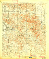
1901 · San Jacinto
USGS Topo · 1:125,000
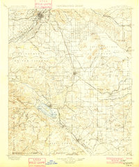
1901 · Elsinore
USGS Topo · 1:125,000

1904 · Southern California Sheet No. 1
USGS Topo · 1:250,000
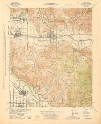
1942 · Banning
USGS Topo · 1:62,500
1942 · Hemet
USGS Topo · 1:62,500
1942 · Murrieta
USGS Topo · 1:62,500
1942 · Perris
USGS Topo · 1:62,500
1943 · Perris
USGS Topo · 1:62,500
1943 · Hemet
USGS Topo · 1:62,500