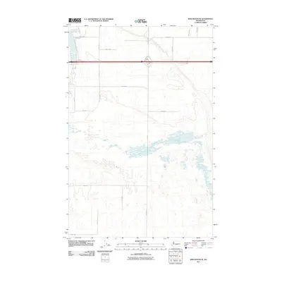
2011 Map of Winchester SE
USGS Topo · Published 2011About this map
The Winchester Wasteway defines the northwestern corner of this Grant County landscape, providing a critical drainage artery for the region's agricultural infrastructure. This 2011 survey illustrates a highly structured grid of section lines and irrigation-influenced roads, typical of the Columbia Basin Project's development. Central to the map's transport corridor are the parallel paths of N Frontage Rd W and S Frontage Rd W, which frame the high-speed transit route through the desert terrain. The area is marked by numerous small depressions and seasonal water features, particularly along the reach of Dodson Rd S and C SW Rd. Notable local landmarks like Baseline Rd act as primary east-west dividers, while the north-south axis is anchored by Dodson Rd NW, connecting these dispersed farming reaches.
Find a feature on this map
22 named features on this map. Tap any name to fly to it.
Don’t see what you’re looking for? This feature index may not catch every label — zoom into the map to look around manually.
Map Details
Editions of this 2011 Winchester SE Map
This is the sole edition of this map. No revisions or reprints were ever made.
Other maps of this area

1910 · Winchester
USGS Topo · 1:62,500

1911 · Red Rock
USGS Topo · 1:62,500

1912 · Moses Lake
USGS Topo · 1:62,500

1923 · Corfu
USGS Topo · 1:62,500

1950 · Smyrna
USGS Topo · 1:62,500

1951 · Smyrna
USGS Topo · 1:62,500

1951 · Corfu
USGS Topo · 1:62,500

1953 · Walla Walla
USGS Topo · 1:250,000

1953 · Ritzville
USGS Topo · 1:250,000

1956 · Mae
USGS Topo · 1:24,000