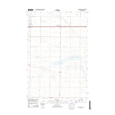
2014 Map of Winchester SE
USGS Topo · Published 2014About this map
Winchester Wasteway cuts through the northwest corner of this Grant County landscape, part of the complex irrigation and drainage network that defines the region's agricultural character. The 2014 survey reveals a highly structured grid of section lines and rural thoroughfares, such as Baseline Rd and Dodson Rd N, which organize the desert terrain into productive blocks. This map captures the intersection of major transport and utility corridors, where Frontage Rd runs parallel to the primary east-west highway. The southern portion of the sheet is dominated by complex contour patterns and small depressions, illustrating the unique geological surface typical of the Columbia Basin. These landforms, interspersed with access routes like Road 6 SW, provide a detailed record of how human engineering and natural topography coexist in this semi-arid environment.
Find a feature on this map
25 named features on this map. Tap any name to fly to it.
Don’t see what you’re looking for? This feature index may not catch every label — zoom into the map to look around manually.
Map Details
Editions of this 2014 Winchester SE Map
This is the sole edition of this map. No revisions or reprints were ever made.
Other maps of this area

1910 · Winchester
USGS Topo · 1:62,500

1911 · Red Rock
USGS Topo · 1:62,500

1912 · Moses Lake
USGS Topo · 1:62,500

1923 · Corfu
USGS Topo · 1:62,500

1950 · Smyrna
USGS Topo · 1:62,500

1951 · Smyrna
USGS Topo · 1:62,500

1951 · Corfu
USGS Topo · 1:62,500

1953 · Walla Walla
USGS Topo · 1:250,000

1953 · Ritzville
USGS Topo · 1:250,000

1956 · Mae
USGS Topo · 1:24,000