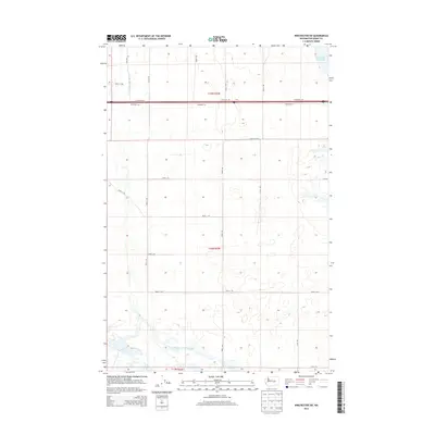
2014 Map of Winchester SW
USGS Topo · Published 2014About this map
Frenchman Hills Wasteway and Winchester Wasteway define the hydrological character of this portion of Grant County, where water management infrastructure supports the agricultural landscape of the Columbia Basin. The terrain is structured by an orderly grid of rural routes, including W Baseline Rd and a series of numbered paths like Road 1 SW and Road 4 SW. The east-west corridor of Interstate 90 and its accompanying N Frontage Rd bisect the northern sections, marking the primary transportation artery through the region. Land divisions are clearly delineated by township and range markers such as t18n r25e, illustrating the systematic organization of Washington's central plains. The presence of the Ditch Rd and the prominent wasteways highlights the vital role of irrigation and drainage in this environment.
Find a feature on this map
25 named features on this map. Tap any name to fly to it.
Don’t see what you’re looking for? This feature index may not catch every label — zoom into the map to look around manually.
Map Details
Editions of this 2014 Winchester SW Map
This is the sole edition of this map. No revisions or reprints were ever made.
Other maps of this area

1909 · Quincy
USGS Topo · 1:62,500

1910 · Quincy
USGS Topo · 1:62,500

1910 · Winchester
USGS Topo · 1:62,500

1911 · Red Rock
USGS Topo · 1:62,500

1912 · Beverly
USGS Topo · 1:62,500

1950 · Smyrna
USGS Topo · 1:62,500

1951 · Smyrna
USGS Topo · 1:62,500

1953 · Walla Walla
USGS Topo · 1:250,000

1953 · Ritzville
USGS Topo · 1:250,000

1954 · Beverly NE
USGS Topo · 1:24,000