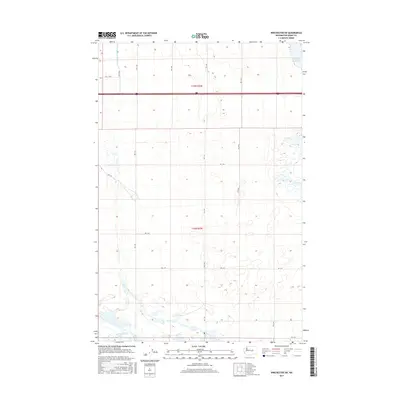
2017 Map of Winchester SW
USGS Topo · Published 2017About this map
Frenchman Hills Wasteway and the Winchester Wasteway define the drainage and irrigation patterns of this Grant County landscape. Set within the Columbia Basin, the area is meticulously organized by the Public Land Survey System, as seen in the grid of section lines across t18n r25e and t19n r25e. This systematic structure is mirrored in the local transportation network, where numbered and lettered thoroughfares like Rd 4 Sw and Rd K Nw provide access to the surrounding agricultural tracts. The interaction between the engineered water routes and the rigid road grid reflects the 20th-century development of this region for large-scale farming. Notable for its lack of concentrated settlements, the map instead highlights the vital role of infrastructure, including Ditch Rd, in managing the water resources necessary for the local economy.
Find a feature on this map
19 named features on this map. Tap any name to fly to it.
Don’t see what you’re looking for? This feature index may not catch every label — zoom into the map to look around manually.
Map Details
Editions of this 2017 Winchester SW Map
This is the sole edition of this map. No revisions or reprints were ever made.
Other maps of this area

1909 · Quincy
USGS Topo · 1:62,500

1910 · Quincy
USGS Topo · 1:62,500

1910 · Winchester
USGS Topo · 1:62,500

1911 · Red Rock
USGS Topo · 1:62,500

1912 · Beverly
USGS Topo · 1:62,500

1950 · Smyrna
USGS Topo · 1:62,500

1951 · Smyrna
USGS Topo · 1:62,500

1953 · Walla Walla
USGS Topo · 1:250,000

1953 · Ritzville
USGS Topo · 1:250,000

1954 · Beverly NE
USGS Topo · 1:24,000