
1955 Map of Winchester
USGS Topo · Published 1957About this map
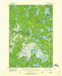
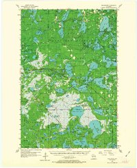
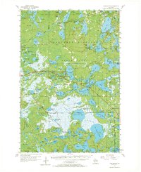
The Northern Highland State Forest dominates this mid-century landscape of the Northwoods, defined by an intricate network of glacial lakes and marshland. The settlement of Winchester serves as a central hub, while the southern portion of the sheet is occupied by the Lac Du Flambeau Indian Reservation. This era of the 1950s shows the region's resource-based economy and early aviation infrastructure, noted by the presence of Cranberry Bogs and the Manitowish Waters Landing Field. Transportation history is visible through the Chicago and Northwestern rail line and various remnants of former logging paths labeled as Old Grade. Educational and industrial sites are scattered throughout, including the Birch Lake Sch and the Presque Isle Sch (Abandoned), alongside several Gravel Pits and the Shea Dam Spillway on the Turtle River.
Find a feature on this map
142 named features on this map. Tap any name to fly to it.
Don’t see what you’re looking for? This feature index may not catch every label — zoom into the map to look around manually.
Map Details
Editions of this 1955 Winchester Map
4 editions found
Other maps of this area

1938 · Minocqua
USGS Topo · 1:48,000

1938 · Lac Du Flambeau
USGS Topo · 1:48,000

1939 · Trout Lake
USGS Topo · 1:48,000

1939 · Lac Du Flambeau
USGS Topo · 1:48,000

1939 · Winchester
USGS Topo · 1:48,000

1940 · Mercer
USGS Topo · 1:48,000

1941 · Pike Lake
USGS Topo · 1:48,000

1942 · Pike Lake
USGS Topo · 1:48,000

1943 · Ironwood
USGS Topo · 1:48,000

1945 · Mercer
USGS Topo · 1:48,000