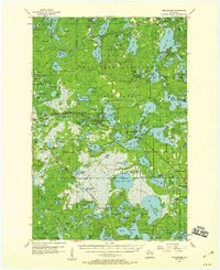
1955 Map of Winchester
USGS Topo · Published 1959About this map
Northern Highland State Forest dominates this mid-century landscape in Vilas County, where the dense concentration of glacial lakes supported a growing seasonal economy of camps and resorts. The map captures the small community of Winchester and the nearby Powell, along with specialized landmarks like the Hiawatha Camp and the Manitowish Waters Landing Field. Extensive Cranberry Bogs and several Pumphouses indicate the specific agricultural land use of the region's wetlands.
Find a feature on this map
130 named features on this map. Tap any name to fly to it.
Don’t see what you’re looking for? This feature index may not catch every label — zoom into the map to look around manually.
Map Details
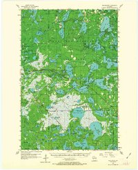
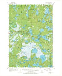
Editions of this 1955 Winchester Map
4 editions found

Other maps of this area

1938 · Minocqua
USGS Topo · 1:48,000

1938 · Lac Du Flambeau
USGS Topo · 1:48,000

1939 · Trout Lake
USGS Topo · 1:48,000

1939 · Lac Du Flambeau
USGS Topo · 1:48,000

1939 · Winchester
USGS Topo · 1:48,000

1940 · Mercer
USGS Topo · 1:48,000

1941 · Pike Lake
USGS Topo · 1:48,000

1942 · Pike Lake
USGS Topo · 1:48,000

1943 · Ironwood
USGS Topo · 1:48,000

1945 · Mercer
USGS Topo · 1:48,000