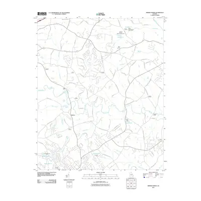
2011 Map of Winder North
USGS Topo · Published 2011About this map
Mulberry and Sells sit at the heart of this landscape where several watercourses, including the Mulberry River and Indian Creek, converge. The region is defined by its numerous small burial grounds, which offer significant value for genealogical research, such as Walnut Fork Cemetery, Ebenezer Cemetery, and White Plains Cemetery. These sites are dispersed among a network of rural routes like Jackson Trail Rd and Rockwell Church Rd NW.
Find a feature on this map
89 named features on this map. Tap any name to fly to it.
Don’t see what you’re looking for? This feature index may not catch every label — zoom into the map to look around manually.
Map Details
Editions of this 2011 Winder North Map
This is the sole edition of this map. No revisions or reprints were ever made.
Other maps of this area

1891 · Gainesville
USGS Topo · 1:125,000

1896 · Monroe
USGS Topo · 1:125,000

1953 · Athens
USGS Topo · 1:250,000

1954 · Greenville
USGS Topo · 1:250,000

1958 · Greenville
USGS Topo · 1:250,000

1958 · Athens
USGS Topo · 1:250,000

1959 · Athens
USGS Topo · 1:250,000

1963 · Athens
USGS Topo · 1:250,000

1964 · Chestnut Mountain
USGS Topo · 1:24,000

1964 · Bold Springs
USGS Topo · 1:24,000