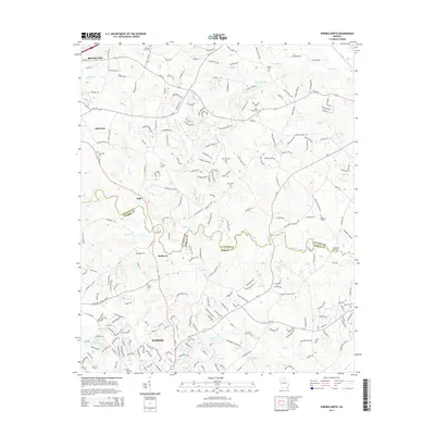
2014 Map of Winder North
USGS Topo · Published 2014About this map
Winder anchors the southern portion of this region, showing its suburban expansion north toward the Jackson Co Barrow Co line. The landscape is defined by the winding course of the Mulberry River, which meanders through the center of the sheet, and the numerous smaller waterways like Rocky Cr and Indian Cr that drain the Piedmont terrain. This 2014 survey documents the modern layout of towns like Braselton and Hoschton, while also preserving the locations of long-established community landmarks. Genealogists and local historians will find significant value in the documentation of numerous family and church burial grounds, including Gum Springs Cem, Lyle Cem, and Rose Hill Cem. The area’s hydrology is further noted through features like Winder Reservoir and Lesters Lake, illustrating the management of water resources in this growing corner of Georgia.
Find a feature on this map
38 named features on this map. Tap any name to fly to it.
Don’t see what you’re looking for? This feature index may not catch every label — zoom into the map to look around manually.
Map Details
Editions of this 2014 Winder North Map
This is the sole edition of this map. No revisions or reprints were ever made.
Other maps of this area

1891 · Gainesville
USGS Topo · 1:125,000

1896 · Monroe
USGS Topo · 1:125,000

1953 · Athens
USGS Topo · 1:250,000

1954 · Greenville
USGS Topo · 1:250,000

1958 · Greenville
USGS Topo · 1:250,000

1958 · Athens
USGS Topo · 1:250,000

1959 · Athens
USGS Topo · 1:250,000

1963 · Athens
USGS Topo · 1:250,000

1964 · Chestnut Mountain
USGS Topo · 1:24,000

1964 · Bold Springs
USGS Topo · 1:24,000