Loading...
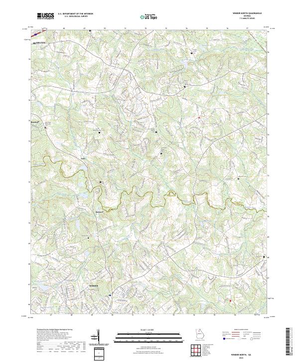
Loading map...2024 Map of Winder North
USGS Topo · Published 2024About this map
The Mulberry River winds through the heart of this landscape, marking the boundary between Jackson Co and Barrow Co. Modern development in Winder and Braselton surrounds a deep network of older rural landmarks, particularly along Old State Rte 124. The map is notably dense with community heritage sites, including the New Hope Methodist Cem and Gum Springs Baptist Cem, which anchor the smaller settlements of Hoschton and Mulberry.
Find a feature on this map
224 named features on this map. Tap any name to fly to it.
Don’t see what you’re looking for? This feature index may not catch every label — zoom into the map to look around manually.
Map Details
Date Portrayed2024
Date Published2024
PublisherU.S. Geological Survey
Map TypeTopographic
Scale1:24000
Physical Dimensions24 x 29 inches
Editions of this 2024 Winder North Map
This is the sole edition of this map. No revisions or reprints were ever made.
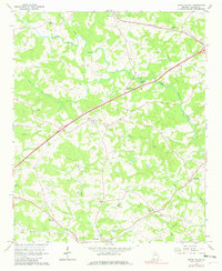
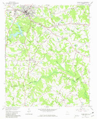
Historical Maps of Mulberry Through Time
4 maps found
Featured Locations
Source Details
SourceU.S. Geological Survey
CopyrightPublic Domain