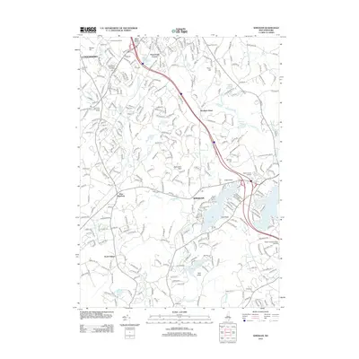
2012 Map of Windham
USGS Topo · Published 2012About this map
Windham and Londonderry anchor this detailed study of Rockingham County’s evolving suburban and rural landscape. The topography is defined by significant water bodies like Cobbetts Pond, Canobie Lake, and Rock Pond, alongside smaller features such as Moeckel Pond and Ezekiel Pond. Cultural and educational landmarks are prominent, including Castle Junior College and the Hesser College Salem Campus, while the historic Robert Frost Farm sits near the northern boundary.
Find a feature on this map
312 named features on this map. Tap any name to fly to it.
Don’t see what you’re looking for? This feature index may not catch every label — zoom into the map to look around manually.
Map Details
Editions of this 2012 Windham Map
This is the sole edition of this map. No revisions or reprints were ever made.
Other maps of this area

1886 · Lawrence
USGS Topo · 1:62,500

1886 · Lowell
USGS Topo · 1:62,500

1888 · Haverhill
USGS Topo · 1:62,500

1888 · Lawrence
USGS Topo · 1:62,500

1890 · Haverhill
USGS Topo · 1:62,500

1893 · Lowell
USGS Topo · 1:62,500

1893 · Lawrence
USGS Topo · 1:62,500

1893 · Haverhill
USGS Topo · 1:62,500

1905 · Manchester
USGS Topo · 1:62,500

1918 · Lowell
USGS Topo · 1:62,500