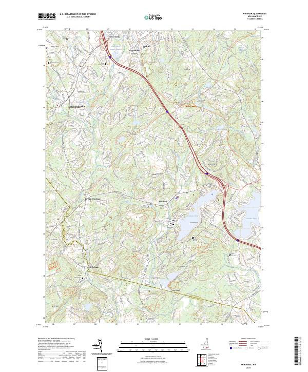
2024 Map of Windham
USGS Topo · Published 2024About this map
Cobbets Pond and the surrounding woodlands of Rockingham County characterize this landscape of southern New Hampshire. The area is defined by its transition from historic rail corridors to modern recreational use, notably visible along the Rockingham Rec. Rail Trl and the Town of Derry Bike Path Trl. A high concentration of burial sites, including the Old Cem on the Plains, New Plains Cem, and Cem On The Hill, offers significant value for genealogical research within the townships of Derry and Windham.
Find a feature on this map
188 named features on this map. Tap any name to fly to it.
Don’t see what you’re looking for? This feature index may not catch every label — zoom into the map to look around manually.
Map Details
Editions of this 2024 Windham Map
This is the sole edition of this map. No revisions or reprints were ever made.
Other maps of this area

1886 · Lawrence
USGS Topo · 1:62,500

1886 · Lowell
USGS Topo · 1:62,500

1888 · Haverhill
USGS Topo · 1:62,500

1888 · Lawrence
USGS Topo · 1:62,500

1890 · Haverhill
USGS Topo · 1:62,500

1893 · Lowell
USGS Topo · 1:62,500

1893 · Lawrence
USGS Topo · 1:62,500

1893 · Haverhill
USGS Topo · 1:62,500

1905 · Manchester
USGS Topo · 1:62,500

1918 · Lowell
USGS Topo · 1:62,500