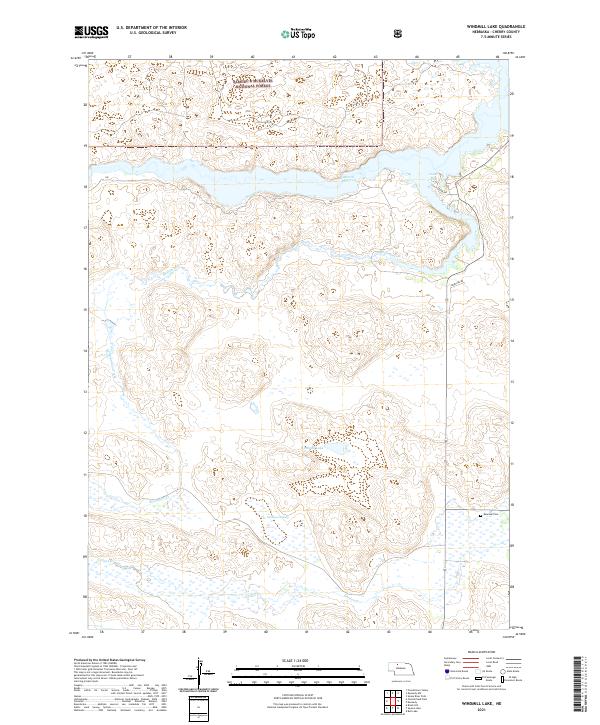
2021 Map of Windmill Lake
USGS Topo · Published 2021About this map
The Samuel R McKelvie National Forest dominates the northern landscape of this Cherry County quadrangle, where the expansive Merritt Reservoir and its Cedar Bay create a significant hydrological center in the Nebraska Sandhills. The terrain is defined by a complex network of wetlands and seasonal drainages, including the sluggish waters of Swanson Swamp and the winding paths of Gordon Cr and Boardman Cr. For local history researchers, the Kennedy Cem near the eastern boundary serves as a vital genealogical anchor in this sparsely populated region. The map illustrates the 2021 state of a landscape where human footprints like Mercure Rd are secondary to the persistent natural features like Windmill Lake and the surrounding township and range divisions.
Find a feature on this map
15 named features on this map. Tap any name to fly to it.
Don’t see what you’re looking for? This feature index may not catch every label — zoom into the map to look around manually.
Map Details
Editions of this 2021 Windmill Lake Map
This is the sole edition of this map. No revisions or reprints were ever made.
Other maps of this area

1949 · Big Falls
USGS Topo · 1:62,500

1950 · Powderhorn Valley
USGS Topo · 1:62,500

1950 · Kennedy
USGS Topo · 1:62,500

1951 · Big Falls
USGS Topo · 1:62,500

1951 · Bull Lake
USGS Topo · 1:62,500

1957 · Valentine
USGS Topo · 1:250,000

1959 · Valentine
USGS Topo · 1:250,000

1985 · Mullen
USGS Topo · 1:100,000

1985 · Goose Creek
USGS Topo · 1:100,000

1985 · Cody
USGS Topo · 1:100,000