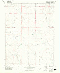
1978 Map of Windmill Lake
USGS Topo · Published 1978About this map
Lone Tree Creek and Breckenridge Creek carve through this high plains landscape in Crowley County, illustrating the delicate water management of the region in the late 1970s. The presence of Windmill Lake at the center of the quadrangle, along with scattered tanks and a well, highlights the importance of localized water sources for ranching and agricultural operations. An industrial footprint is marked by a pipeline cutting across the northern sections, while the western edge is bounded by the route toward Cudahy Road. This topographic study by the Department of the Interior reveals a sparsely populated terrain where drainage patterns like Dead Horse Creek and Bob Creek dictate the layout of rural access roads and land use boundaries during this era of Colorado's development.
Find a feature on this map
11 named features on this map. Tap any name to fly to it.
Don’t see what you’re looking for? This feature index may not catch every label — zoom into the map to look around manually.
Map Details
Editions of this 1978 Windmill Lake Map
This is the sole edition of this map. No revisions or reprints were ever made.
Other maps of this area

1889 · Sanborn
USGS Topo · 1:125,000

1891 · Sanborn
USGS Topo · 1:125,000

1891 · Catlin
USGS Topo · 1:125,000

1893 · Sanborn
USGS Topo · 1:125,000

1893 · Catlin
USGS Topo · 1:125,000

1954 · Lamar
USGS Topo · 1:250,000

1958 · Lamar
USGS Topo · 1:250,000

1977 · Walker Point
USGS Topo · 1:24,000
1977 · Antelope Mesa
USGS Topo · 1:24,000
1977 · Box Springs
USGS Topo · 1:24,000