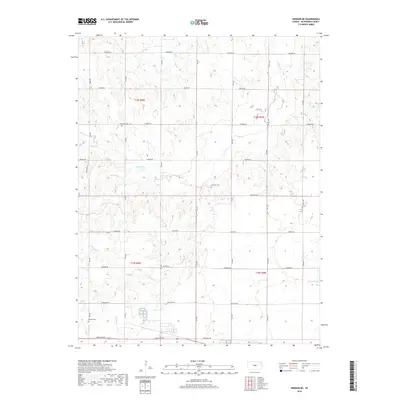
2018 Map of Windom NE
USGS Topo · Published 2018About this map
Sharps Cr and its southern branch, S Sharps Cr, wind through this section of McPherson County, defining the drainage patterns of a landscape segmented by a precise grid of rural roads. This 2018 survey reveals a territory where the section lines of the Public Land Survey System—identified here as t18s r5w and t18s r4w—are strictly followed by thoroughfares named for indigenous peoples and early westward routes, such as Quivera Rd, Pueblo Rd, and Mohawk Rd.
Find a feature on this map
30 named features on this map. Tap any name to fly to it.
Don’t see what you’re looking for? This feature index may not catch every label — zoom into the map to look around manually.
Map Details
Editions of this 2018 Windom NE Map
This is the sole edition of this map. No revisions or reprints were ever made.
Other maps of this area

1891 · Hutchinson
USGS Topo · 1:125,000

1892 · Salina
USGS Topo · 1:125,000

1893 · Hutchinson
USGS Topo · 1:125,000

1942 · Salina
USGS Topo · 1:125,000

1955 · Hutchinson
USGS Topo · 1:250,000

1959 · Hutchinson
USGS Topo · 1:250,000

1964 · Marquette
USGS Topo · 1:24,000
1964 · Langley
USGS Topo · 1:24,000

1964 · Windom SW
USGS Topo · 1:24,000

1964 · Conway
USGS Topo · 1:24,000