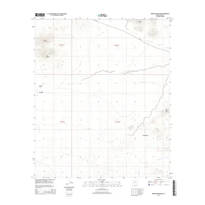
2014 Map of Window Mountain
USGS Topo · Published 2014About this map
Oit Ihuk and Noipa Kam anchor this desert landscape within the Sif Oidak District, where settlement patterns are closely tied to the drainage systems of the Tohono O'odham Nation. The terrain is defined by dramatic geological features such as Window Mountain and the distinct aperture known as The Window, which overlooks Window Valley. These high points contrast with the low-lying ephemeral waterways including Gu Achi Wash, Santa Rosa Wash, and Anegam Wash that cut across the arid floor.
Find a feature on this map
15 named features on this map. Tap any name to fly to it.
Don’t see what you’re looking for? This feature index may not catch every label — zoom into the map to look around manually.
Map Details
Editions of this 2014 Window Mountain Map
This is the sole edition of this map. No revisions or reprints were ever made.
Other maps of this area

1953 · Ajo
USGS Topo · 1:250,000

1957 · Ajo
USGS Topo · 1:250,000

1958 · Ajo
USGS Topo · 1:250,000

1962 · Ajo
USGS Topo · 1:250,000

1963 · Ajo
USGS Topo · 1:250,000

1963 · Gu Achi
USGS Topo · 1:62,500

1963 · Quijotoa Mts
USGS Topo · 1:62,500

1963 · Cimarron Peak
USGS Topo · 1:62,500

1963 · Pisinimo
USGS Topo · 1:62,500

1967 · Ajo
USGS Topo · 1:250,000