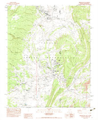
1983 Map of Window Rock
USGS Topo · Published 1983About this map
Window Rock serves as the focal point of this provisional 1980s survey, centered on the seat of the Navajo Indian Reservation. The landscape is dominated by the broad Black Creek Valley, framed to the east by the rising Chuska Mountains. Institutional and civic development is clustered around the Navajo Tribal Headquarters and the Window Rock High Sch, while the historic mission area at Saint Michaels features the St Michaels Indian Sch and a museum.
Find a feature on this map
39 named features on this map. Tap any name to fly to it.
Don’t see what you’re looking for? This feature index may not catch every label — zoom into the map to look around manually.
Map Details
Editions of this 1983 Window Rock Map
2 editions found
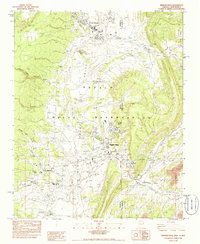
Other maps of this area
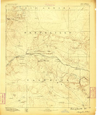
1886 · Wingate
USGS Topo · 1:250,000
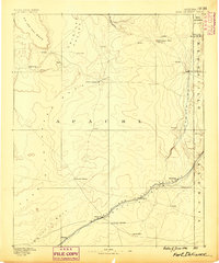
1886 · Fort Defiance
USGS Topo · 1:250,000
1892 · Fort Defiance
USGS Topo · 1:250,000
1892 · Wingate
USGS Topo · 1:250,000
1954 · Gallup
USGS Topo · 1:250,000
1955 · Zith-Tusayan Butte 4 NW
USGS Topo · 1:24,000
1955 · Zith-Tusayan Butte 4 NE
USGS Topo · 1:24,000
1955 · Zith-Tusayan Butte 1 SE
USGS Topo · 1:24,000
1955 · Zith-Tusayan Butte 1 SW
USGS Topo · 1:24,000
1955 · Tohatchi
USGS Topo · 1:62,500
Featured Places
- Fort Defiance Agency
- Fort Defiance, Fort Defiance Agency
- Window Rock, Fort Defiance Agency
- Eastern Navajo Agency, NM
- Saint Michaels, Fort Defiance Agency