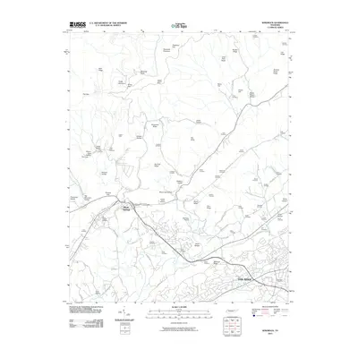
2010 Map of Windrock
USGS Topo · Published 2010About this map
Oliver Springs serves as a focal point in this landscape where the ridge-and-valley topography of Eastern Tennessee meets the industrialized outskirts of Oak Ridge. The map details a transition from the dense, family-named hollows and ridges like Windrock Mountain and Shoat Lick Hollow to the expanding infrastructure of the early 21st century. Significant local history is preserved through dozens of family burial grounds, including Duggans Cemetery, Seiber Cemetery, and Gilbreath Cemetery, which are interspersed among the steep terrain.
Find a feature on this map
94 named features on this map. Tap any name to fly to it.
Don’t see what you’re looking for? This feature index may not catch every label — zoom into the map to look around manually.
Map Details
Editions of this 2010 Windrock Map
This is the sole edition of this map. No revisions or reprints were ever made.
Other maps of this area

1893 · Briceville
USGS Topo · 1:125,000

1895 · Loudon
USGS Topo · 1:125,000

1895 · Briceville
USGS Topo · 1:125,000

1896 · Briceville
USGS Topo · 1:125,000

1935 · Elverton
USGS Topo · 1:24,000

1935 · Bethel Valley
USGS Topo · 1:24,000

1935 · Lovell
USGS Topo · 1:24,000

1936 · Hogbell Gap
USGS Topo · 1:24,000

1936 · Duncan Flats
USGS Topo · 1:24,000

1936 · Windrock
USGS Topo · 1:24,000