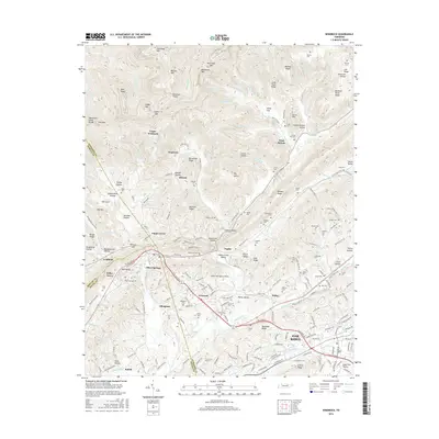
2016 Map of Windrock
USGS Topo · Published 2016About this map
Oliver Springs serves as a central hub on this 2016 survey, where the borders of Anderson, Morgan, and Roane counties converge. The landscape is defined by the sharp transition from the valley floor to the high ridges of Walden Ridge and Buffalo Mtn. Small communities and family-named hollows like Shoat Lick Hollow and Beartree Hollow are scattered throughout the upland terrain, often situated near gaps like Silvey Gap or Peachtree Gap.
Find a feature on this map
209 named features on this map. Tap any name to fly to it.
Don’t see what you’re looking for? This feature index may not catch every label — zoom into the map to look around manually.
Map Details
Editions of this 2016 Windrock Map
This is the sole edition of this map. No revisions or reprints were ever made.
Other maps of this area

1893 · Briceville
USGS Topo · 1:125,000

1895 · Loudon
USGS Topo · 1:125,000

1895 · Briceville
USGS Topo · 1:125,000

1896 · Briceville
USGS Topo · 1:125,000

1935 · Elverton
USGS Topo · 1:24,000

1935 · Bethel Valley
USGS Topo · 1:24,000

1935 · Lovell
USGS Topo · 1:24,000

1936 · Hogbell Gap
USGS Topo · 1:24,000

1936 · Duncan Flats
USGS Topo · 1:24,000

1936 · Windrock
USGS Topo · 1:24,000