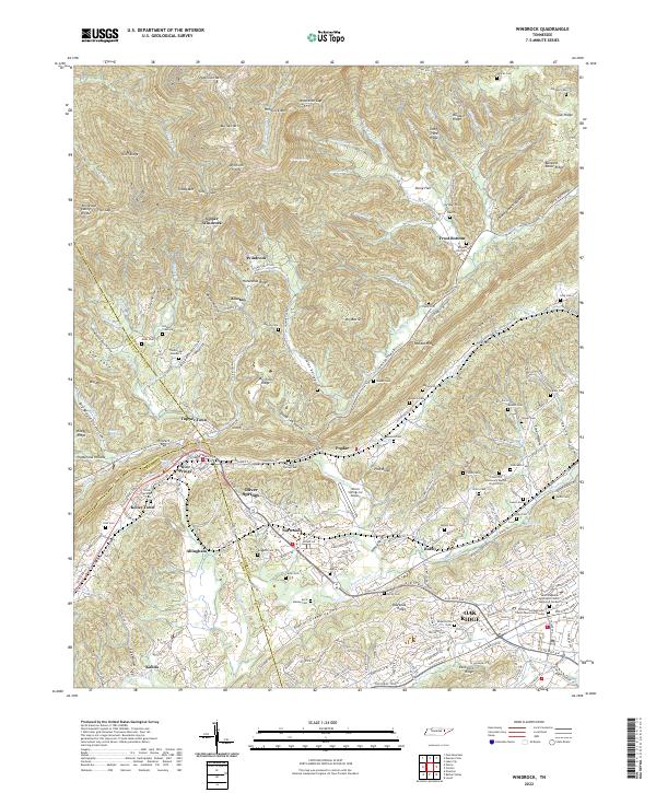
2022 Map of Windrock
USGS Topo · Published 2022About this map
Oliver Springs serves as the primary hub at the intersection of the Anderson, Roane, and Morgan county lines, where the Cumberland Mountains meet the Ridge-and-Valley province. This landscape is defined by the steep transitions between high ridges like Buffalo Mtn and Patterson Mtn and the fertile lowlands of the East Fork Valley. The area's coal-mining heritage is evident in settlements such as Windrock and Upper Windrock, connected by the winding CSX Transportation rail lines. Family histories are deeply etched into the land, preserved in numerous scattered burial grounds including Oliver Springs Cem, Duncan Cem, and the Cedar Hill Missionary Baptist Church Cem. The mapping records the transition from rural industrial outposts to suburban expansion near Oak Ridge, showing a network of valleys like Dutch Valley and Hoskins Valley that have long dictated the path of local roads and communities.
Find a feature on this map
213 named features on this map. Tap any name to fly to it.
Don’t see what you’re looking for? This feature index may not catch every label — zoom into the map to look around manually.
Map Details
Editions of this 2022 Windrock Map
This is the sole edition of this map. No revisions or reprints were ever made.
Other maps of this area

1893 · Briceville
USGS Topo · 1:125,000

1895 · Loudon
USGS Topo · 1:125,000

1895 · Briceville
USGS Topo · 1:125,000

1896 · Briceville
USGS Topo · 1:125,000

1935 · Elverton
USGS Topo · 1:24,000

1935 · Bethel Valley
USGS Topo · 1:24,000

1935 · Lovell
USGS Topo · 1:24,000

1936 · Hogbell Gap
USGS Topo · 1:24,000

1936 · Duncan Flats
USGS Topo · 1:24,000

1936 · Windrock
USGS Topo · 1:24,000