
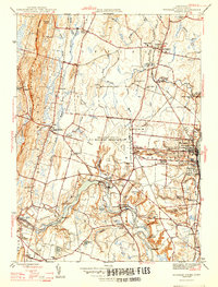
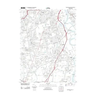
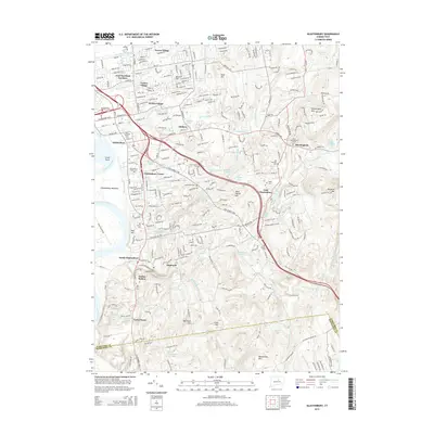
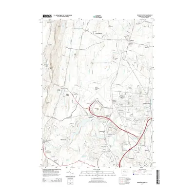
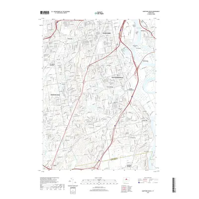
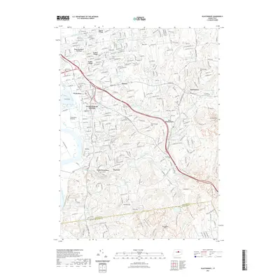
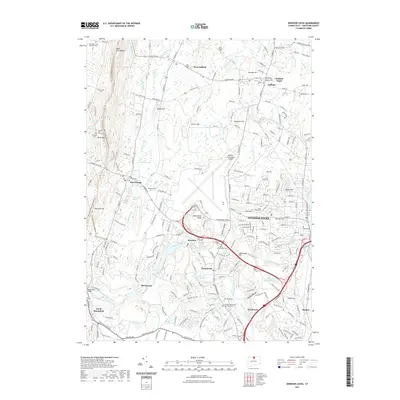
1946 Map of Windsor Locks
USGS Topo · Published 1946About this map
The Bradley Field US Military Reservation dominates the central landscape of this mid-1940s survey, marking a period of significant military and aviation expansion in Hartford County. The Connecticut River forms the eastern boundary, while the Farmington River winds through the south, feeding into local industry and agriculture at Rainbow and Poquonock. The area retains its deep educational and institutional roots, evidenced by the Suffield Academy and the presence of Old Newgate Prison on the western slopes of West Suffield Mountain. Transportation is defined by the New York New Haven and Hartford railroad line, which parallels the river through Windsor Locks. Scattered rural schoolhouses like Hazelwood Sch and Boston Neck Sch sit alongside family-named landmarks such as Taintor Hill and Cains Pond, reflecting the historic settlement patterns before the post-war suburban shift.
Find a feature on this map
67 named features on this map. Tap any name to fly to it.
Don’t see what you’re looking for? This feature index may not catch every label — zoom into the map to look around manually.
Map Details
Editions of this 1946 Windsor Locks Map
2 editions found
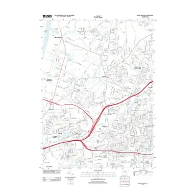
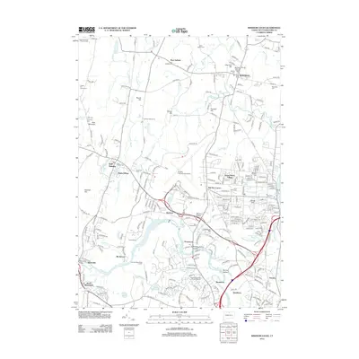
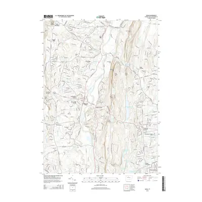
Historical Maps of Windsor Through Time
54 maps found

1892 Granby
Hartford County, CT

1906 Farmington
Hartford County, CT

1928 Glastonbury
Hartford County, CT

1928 Manchester
Hartford County, CT

1928 Mittineague
Hartford County, CT

1928 Windsor
Hartford County, CT

1928 Windsor Locks
Hartford County, CT

1944 Hartford South
Hartford County, CT

1944 Manchester
Hartford County, CT

1945 Hartford North
Hartford County, CT

1946 Glastonbury
Hartford County, CT
1946 Windsor Locks
Hartford County, CT

1951 Avon
Hartford County, CT

1952 Hartford North
Hartford County, CT

1952 Hartford South
Hartford County, CT

1952 Manchester
Hartford County, CT

1953 Glastonbury
Hartford County, CT

1953 Windsor Locks
Hartford County, CT

1957 Avon
Hartford County, CT

1963 Manchester
Hartford County, CT

1964 Glastonbury
Hartford County, CT

1964 Hartford North
Hartford County, CT

1964 Hartford South
Hartford County, CT

1964 Windsor Locks
Hartford County, CT
2012 Avon
Hartford County, CT
2012 Glastonbury
Hartford County, CT
2012 Hartford North
Hartford County, CT
2012 Hartford South
Hartford County, CT
2012 Manchester
Hartford County, CT
2012 Windsor Locks
Hartford County, CT
2015 Avon
Hartford County, CT
2015 Glastonbury
Hartford County, CT
2015 Hartford North
Hartford County, CT
2015 Hartford South
Hartford County, CT
2015 Manchester
Hartford County, CT
2015 Windsor Locks
Hartford County, CT
2018 Avon
Hartford County, CT
2018 Glastonbury
Hartford County, CT
2018 Hartford North
Hartford County, CT
2018 Hartford South
Hartford County, CT
2018 Manchester
Hartford County, CT
2018 Windsor Locks
Hartford County, CT
2021 Avon
Hartford County, CT
2021 Glastonbury
Hartford County, CT
2021 Hartford North
Hartford County, CT
2021 Hartford South
Hartford County, CT
2021 Manchester
Hartford County, CT
2021 Windsor Locks
Hartford County, CT

2024 Avon
Hartford County, CT

2024 Glastonbury
Hartford County, CT

2024 Hartford North
Hartford County, CT

2024 Hartford South
Hartford County, CT

2024 Manchester
Hartford County, CT

2024 Windsor Locks
Hartford County, CT