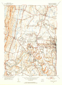
1953 Map of Windsor Locks
USGS Topo · Published 1954About this map
Bradley Field and the State Dept of Aeronautics dominate the central landscape of this mid-century survey, illustrating the rapid expansion of aviation infrastructure in the Hartford Co region. The topography transitions from the eastern banks of the Farmington River to the prominent ridge of West Suffield Mtn, where the Metacomet Trail skirts the edge of the copper mining history at Old Newgate Prison. This era finds the area in a delicate balance between its traditional agrarian roots, seen in the numerous family-named landmarks like Taintor Hill and Cains Pond, and the encroaching industrial and military footprints of the U S Military Reservation. Education and local history are well-represented by long-standing institutions such as Suffield Academy and numerous rural schoolhouses, including the South Street Sch and Boston Neck Sch.
Find a feature on this map
94 named features on this map. Tap any name to fly to it.
Don’t see what you’re looking for? This feature index may not catch every label — zoom into the map to look around manually.
Map Details
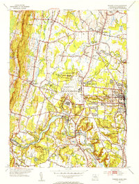
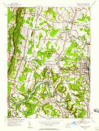
Editions of this 1953 Windsor Locks Map
3 editions found
Other maps of this area

1886 · Springfield
USGS Topo · 1:62,500

1887 · Granville
USGS Topo · 1:62,500

1889 · Springfield
USGS Topo · 1:62,500

1889 · Granville
USGS Topo · 1:62,500

1892 · Hartford
USGS Topo · 1:62,500

1892 · Granby
USGS Topo · 1:62,500

1893 · Springfield
USGS Topo · 1:62,500

1893 · Granville
USGS Topo · 1:62,500

1895 · Springfield
USGS Topo · 1:62,500

1895 · Granville
USGS Topo · 1:62,500