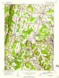
1953 Map of Windsor Locks
USGS Topo · Published 1959About this map
The Farmington River winds through the southern half of this mid-century landscape, carving a deep valley that passes through Poquonock and Thralltown. The central portion of the map is dominated by the aviation infrastructure of Bradley Field, managed by the State Dept of Aeronautics, and the adjacent U S Military Reservation. This era shows a transition from the agricultural roots of West Suffield and the academic grounds of Suffield Academy toward a more integrated transport hub. In the east, the industrial character of Windsor Locks is tied closely to the New York New Haven and Hartford railroad line. Local history is preserved in the numerous named cemeteries and schools, such as Woodlawn Cem and Boston Neck Sch, which reveal the established community boundaries of Suffield and Windsor prior to later suburban expansion.
Find a feature on this map
56 named features on this map. Tap any name to fly to it.
Don’t see what you’re looking for? This feature index may not catch every label — zoom into the map to look around manually.
Map Details
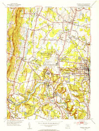
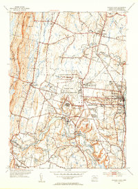
Editions of this 1953 Windsor Locks Map
3 editions found
Other maps of this area

1886 · Springfield
USGS Topo · 1:62,500

1887 · Granville
USGS Topo · 1:62,500

1889 · Springfield
USGS Topo · 1:62,500

1889 · Granville
USGS Topo · 1:62,500

1892 · Hartford
USGS Topo · 1:62,500

1892 · Granby
USGS Topo · 1:62,500

1893 · Springfield
USGS Topo · 1:62,500

1893 · Granville
USGS Topo · 1:62,500

1895 · Springfield
USGS Topo · 1:62,500

1895 · Granville
USGS Topo · 1:62,500