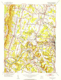
1953 Map of Windsor Locks
USGS Topo · Published 1954About this map
Bradley Field and the State Dept of Aeronautics dominate the central landscape of this 1950s Connecticut valley survey. The region is defined by the winding path of the Farmington River, which feeds the Rainbow Res and flows past the settlements of Poquonock and Birchwood. To the north, the town of Suffield serves as an educational and social hub, home to Suffield Academy and Suffield High Sch.
Find a feature on this map
77 named features on this map. Tap any name to fly to it.
Don’t see what you’re looking for? This feature index may not catch every label — zoom into the map to look around manually.
Map Details
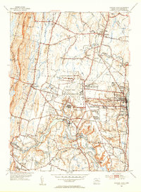
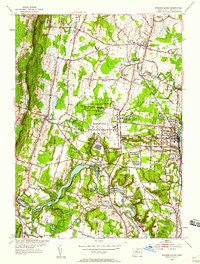
Editions of this 1953 Windsor Locks Map
3 editions found
Other maps of this area

1886 · Springfield
USGS Topo · 1:62,500

1887 · Granville
USGS Topo · 1:62,500

1889 · Springfield
USGS Topo · 1:62,500

1889 · Granville
USGS Topo · 1:62,500

1892 · Hartford
USGS Topo · 1:62,500

1892 · Granby
USGS Topo · 1:62,500

1893 · Springfield
USGS Topo · 1:62,500

1893 · Granville
USGS Topo · 1:62,500

1895 · Springfield
USGS Topo · 1:62,500

1895 · Granville
USGS Topo · 1:62,500