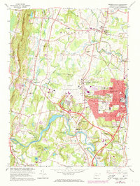
1964 Map of Windsor Locks
USGS Topo · Published 1973About this map
Windsor Locks sits at the heart of this landscape, its urban grid and industrial corridor defined by the Connecticut River and the Penn Central rail lines. This era shows the community in a period of high mid-century activity, with the sprawling Bradley International Airport and the National Guard Supply Depot dominating the central plains. These facilities represent the significant military and transportation infrastructure that reshaped the region's economy after the war.
Find a feature on this map
86 named features on this map. Tap any name to fly to it.
Don’t see what you’re looking for? This feature index may not catch every label — zoom into the map to look around manually.
Map Details
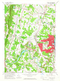
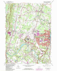
Editions of this 1964 Windsor Locks Map
3 editions found
Other maps of this area

1886 · Springfield
USGS Topo · 1:62,500

1887 · Granville
USGS Topo · 1:62,500

1889 · Springfield
USGS Topo · 1:62,500

1889 · Granville
USGS Topo · 1:62,500

1892 · Hartford
USGS Topo · 1:62,500

1892 · Granby
USGS Topo · 1:62,500

1893 · Springfield
USGS Topo · 1:62,500

1893 · Granville
USGS Topo · 1:62,500

1895 · Springfield
USGS Topo · 1:62,500

1895 · Granville
USGS Topo · 1:62,500