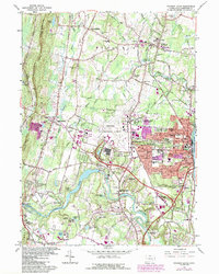
1964 Map of Windsor Locks
USGS Topo · Published 1984About this map
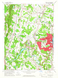
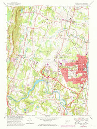
The Connecticut River and Farmington River define the industrial and agricultural landscape of north-central Connecticut in the mid-1960s. This survey illustrates the significant expansion of Bradley International Airport, which occupies a central position on the map, surrounded by the growing residential and commercial corridors of Windsor Locks and Suffield. The presence of the National Guard Supply Depot and Air Natl Guard Gate underscores the area's strategic aviation importance during the Cold War era.
Find a feature on this map
97 named features on this map. Tap any name to fly to it.
Don’t see what you’re looking for? This feature index may not catch every label — zoom into the map to look around manually.
Map Details
Editions of this 1964 Windsor Locks Map
3 editions found
Other maps of this area

1886 · Springfield
USGS Topo · 1:62,500

1887 · Granville
USGS Topo · 1:62,500

1889 · Springfield
USGS Topo · 1:62,500

1889 · Granville
USGS Topo · 1:62,500

1892 · Hartford
USGS Topo · 1:62,500

1892 · Granby
USGS Topo · 1:62,500

1893 · Springfield
USGS Topo · 1:62,500

1893 · Granville
USGS Topo · 1:62,500

1895 · Springfield
USGS Topo · 1:62,500

1895 · Granville
USGS Topo · 1:62,500