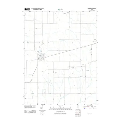
2012 Map of Windsor
USGS Topo · Published 2012About this map
Windsor serves as the central hub of this prairie landscape, where the grid of rural roads meets the diagonal passage of the railroad corridor. The area is notable for its unusually high density of small family and community burial grounds, which provide a significant record of early settlement patterns across Shelby County. These sites, including Old Lynn Creek Cem, Cochran Cem, and Point Lookout Cem, are scattered among the headwaters of the W Br Little Wabash River and its various tributaries like Richland Cr and Sand Cr. To the southeast, the small junction of Sexson Corner marks the transition toward more dissected terrain near Sexson Br, illustrating how local hydrology influenced the placement of original farmsteads and the eventual development of the township road system.
Find a feature on this map
31 named features on this map. Tap any name to fly to it.
Don’t see what you’re looking for? This feature index may not catch every label — zoom into the map to look around manually.
Map Details
Editions of this 2012 Windsor Map
This is the sole edition of this map. No revisions or reprints were ever made.
Other maps of this area

1934 · Mattoon
USGS Topo · 1:62,500

1935 · Arcola
USGS Topo · 1:48,000

1935 · Sullivan
USGS Topo · 1:48,000

1937 · Mattoon
USGS Topo · 1:62,500

1940 · Sullivan
USGS Topo · 1:62,500

1940 · Arcola
USGS Topo · 1:62,500

1947 · Stewardson
USGS Topo · 1:62,500

1949 · Stewardson
USGS Topo · 1:62,500

1958 · Decatur
USGS Topo · 1:250,000

1961 · Decatur
USGS Topo · 1:250,000