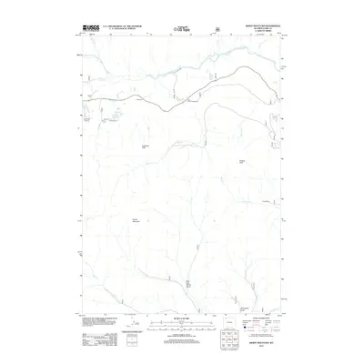
2012 Map of Windy Mountain
USGS Topo · Published 2012About this map
Clarks Fork Yellowstone River dominates the northern reaches of this high-elevation Park County landscape, winding through a corridor defined by dramatic vertical relief. The presence of the K Bar Z Ranch and Dodd Ranch indicates a reliance on the valley floors for livestock and settlement, while the surrounding peaks like Windy Mountain and Russell Peak mark the edges of the high wilderness.
Find a feature on this map
25 named features on this map. Tap any name to fly to it.
Don’t see what you’re looking for? This feature index may not catch every label — zoom into the map to look around manually.
Map Details
Editions of this 2012 Windy Mountain Map
This is the sole edition of this map. No revisions or reprints were ever made.
Other maps of this area

1896 · Crandall Creek
USGS Topo · 1:125,000

1899 · Crandall
USGS Topo · 1:125,000

1949 · Pat O'Hara Mountain
USGS Topo · 1:62,500

1950 · Deep Lake
USGS Topo · 1:62,500

1955 · Cody
USGS Topo · 1:250,000

1956 · Beartooth Butte
USGS Topo · 1:62,500

1956 · Dead Indian Peak
USGS Topo · 1:62,500

1958 · Cody
USGS Topo · 1:250,000

1962 · Cody
USGS Topo · 1:250,000

1980 · Cody
USGS Topo · 1:100,000