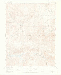
1954 Map of Windy Peak
USGS Topo · Published 1968About this map
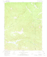
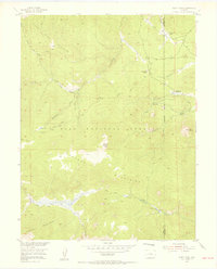
The Tarryall Mountains and Kenosha Mountains dominate this high-altitude landscape within the Pike National Forest. In the mid-1950s, this rugged terrain was defined by isolated mountain ranching and a network of rudimentary trails. Remote outposts like the Sunnyside Ranch, Soderstrom Ranch, and Bancroft Ranch sit at the edges of steep drainage systems, while Sylvania of the Rockies occupies a site near Redskin Creek. The survey documents a wilderness transit system consisting of the Payne Creek Trail, Craig Creek Trail, and various Jeep Trails that provided the only access through the dense topography. High-altitude meadows like Wigwam Park and the distinct formation of The Castle serve as prominent landmarks alongside the Platte River, which cuts through the northwestern corner of the quadrangle. This map preserves the mid-century footprint of these family-named landholdings before modern development patterns altered the character of the Front Range backcountry.
Find a feature on this map
32 named features on this map. Tap any name to fly to it.
Don’t see what you’re looking for? This feature index may not catch every label — zoom into the map to look around manually.
Map Details
Editions of this 1954 Windy Peak Map
8 editions found
Other maps of this area

1893 · Platte Canyon
USGS Topo · 1:125,000

1945 · Pine
USGS Topo · 1:24,000

1945 · Bailey
USGS Topo · 1:24,000

1945 · Shawnee
USGS Topo · 1:24,000

1948 · Pine
USGS Topo · 1:24,000

1948 · Shawnee
USGS Topo · 1:24,000

1949 · Bailey
USGS Topo · 1:24,000

1953 · Denver
USGS Topo · 1:250,000

1954 · Green Mountain
USGS Topo · 1:24,000
1954 · Windy Peak
USGS Topo · 1:24,000