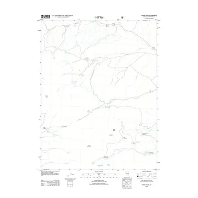
2012 Map of Windy Peak
USGS Topo · Published 2012About this map
Mathis Ranch sits near the northern boundary of this high-elevation Nevada landscape, where the terrain transitions from steep canyons to alpine basins. The map documents a rugged water management history through the Osceola Ditch Point of Interest, a remnant of the mining era's infrastructure. To the south, the dramatic elevations of Bald Mountain and Buck Mountain overlook a series of glacial features including Stella Lake, Teresa Lake, and Brown Lake. This 2012 survey by the U. S. Geological Survey details the complex drainage network of Mill Cr and Lehman Cr, alongside recreational infrastructure at the Wheeler Peak Campground and Lehman Creek Campground and Trailhead. Numerous named springs, such as Waking Spring and Monroe Spring, mark the sparse water sources across the Great Basin terrain.
Find a feature on this map
44 named features on this map. Tap any name to fly to it.
Don’t see what you’re looking for? This feature index may not catch every label — zoom into the map to look around manually.
Map Details
Editions of this 2012 Windy Peak Map
This is the sole edition of this map. No revisions or reprints were ever made.
Other maps of this area

1948 · Wheeler Peak
USGS Topo · 1:62,500

1949 · Garrison
USGS Topo · 1:62,500

1950 · Wheeler Peak
USGS Topo · 1:62,500

1951 · Garrison
USGS Topo · 1:62,500

1956 · Lund
USGS Topo · 1:250,000

1956 · Ely
USGS Topo · 1:250,000

1959 · Ely
USGS Topo · 1:250,000

1959 · Sacramento Pass
USGS Topo · 1:62,500

1960 · Lund
USGS Topo · 1:250,000

1963 · Ely
USGS Topo · 1:250,000