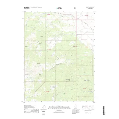
2018 Map of Windy Peak
USGS Topo · Published 2018About this map
The Snake Range dominates this portion of White Pine County, showing the intersection of high alpine lakes and historic water infrastructure. Within the boundaries of Great Basin National Park, high-elevation landmarks like Bald Mtn and Buck Mtn overlook a series of glacial tarns, including Stella Lake, Teresa Lake, and Brown Lake. A network of footpaths, such as the Glacier Trail and Alpine Lakes Loop Trail, provides access to these remote watersheds.
Find a feature on this map
55 named features on this map. Tap any name to fly to it.
Don’t see what you’re looking for? This feature index may not catch every label — zoom into the map to look around manually.
Map Details
Editions of this 2018 Windy Peak Map
This is the sole edition of this map. No revisions or reprints were ever made.
Other maps of this area

1948 · Wheeler Peak
USGS Topo · 1:62,500

1949 · Garrison
USGS Topo · 1:62,500

1950 · Wheeler Peak
USGS Topo · 1:62,500

1951 · Garrison
USGS Topo · 1:62,500

1956 · Lund
USGS Topo · 1:250,000

1956 · Ely
USGS Topo · 1:250,000

1959 · Ely
USGS Topo · 1:250,000

1959 · Sacramento Pass
USGS Topo · 1:62,500

1960 · Lund
USGS Topo · 1:250,000

1963 · Ely
USGS Topo · 1:250,000