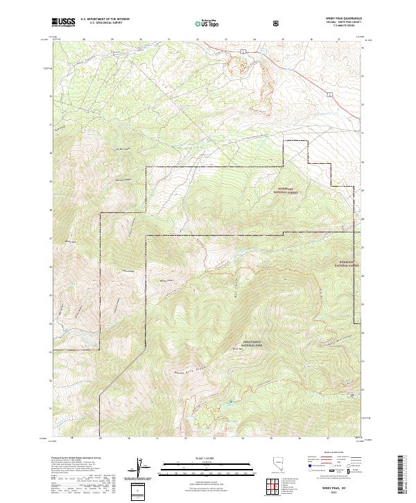
2021 Map of Windy Peak
USGS Topo · Published 2021About this map
The high ridges of the Snake Range dominate this modern survey, defined by the intersection of protected public lands and legacy mining infrastructure. In the southern portion of the sheet, the boundary of Great Basin National Park encompasses a complex alpine hydrologic system including Stella Lake, Brown Lake, and Teresa Lake at the foot of Bald Mtn Blue Ridge. Evidence of early hydraulic engineering and industry remains visible through labels like the Osceola Ditch Tri and Mine Shaft Loop Tri, which trace the historical efforts to move water and extract resources from this high-altitude environment.
Find a feature on this map
52 named features on this map. Tap any name to fly to it.
Don’t see what you’re looking for? This feature index may not catch every label — zoom into the map to look around manually.
Map Details
Editions of this 2021 Windy Peak Map
This is the sole edition of this map. No revisions or reprints were ever made.
Other maps of this area

1948 · Wheeler Peak
USGS Topo · 1:62,500

1949 · Garrison
USGS Topo · 1:62,500

1950 · Wheeler Peak
USGS Topo · 1:62,500

1951 · Garrison
USGS Topo · 1:62,500

1956 · Lund
USGS Topo · 1:250,000

1956 · Ely
USGS Topo · 1:250,000

1959 · Ely
USGS Topo · 1:250,000

1959 · Sacramento Pass
USGS Topo · 1:62,500

1960 · Lund
USGS Topo · 1:250,000

1963 · Ely
USGS Topo · 1:250,000