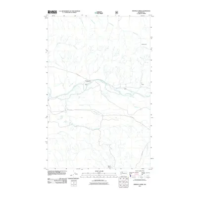
2011 Map of Winfield Creek
USGS Topo · Published 2011About this map
The Hoh River corridor defines this landscape in the early 21st century, serving as a primary artery through the dense forests of the Olympic Peninsula. This map documents a region where river-valley activity is concentrated along the Upper Hoh Rd and the Hoh Mainline, reflecting the ongoing importance of timber and transportation infrastructure. While much of the terrain is dominated by high points like Mount Octopus and Geodetic Hill, the valley floor supports small-scale human imprints such as Schmidt Ranch and Fisher Ranch.
Find a feature on this map
22 named features on this map. Tap any name to fly to it.
Don’t see what you’re looking for? This feature index may not catch every label — zoom into the map to look around manually.
Map Details
Editions of this 2011 Winfield Creek Map
This is the sole edition of this map. No revisions or reprints were ever made.
Other maps of this area

1939 · Forks
USGS Topo · 1:62,500

1943 · Spruce Mountain
USGS Topo · 1:62,500

1943 · Copalis Beach
USGS Topo · 1:250,000

1951 · Copalis Beach
USGS Topo · 1:250,000

1956 · Destruction Island
USGS Topo · 1:62,500

1956 · Spruce Mtn.
USGS Topo · 1:62,500

1956 · Salmon River
USGS Topo · 1:62,500

1957 · Forks
USGS Topo · 1:62,500

1957 · Copalis Beach
USGS Topo · 1:250,000

1963 · Copalis Beach
USGS Topo · 1:250,000