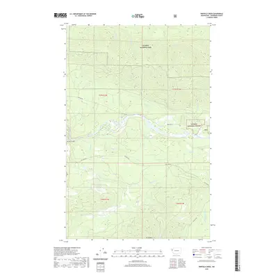
2020 Map of Winfield Creek
USGS Topo · Published 2020About this map
The Hoh River corridor defines this portion of the Olympic Peninsula, where modern forestry and conservation boundaries meet. The map documents the interface between Olympic National Park and the Olympic National Forest, showing how the land is managed through a network of logging and access routes including the Hoh Mainline and Upper Hoh Rd. Numerous tributaries such as Winfield Cr, Elk Cr, and Willowbu Cr drain the high country around Mt Octopus, feeding into the larger river systems. The inclusion of the Hoh River Bridge and various creek crossings provides essential data for those studying the evolution of wilderness access and the local timber economy. This record of the 2020 landscape preserves the specific locations of named drainages like Hades Cr and Lindner Cr within the t27n r11w and t26n r12w townships.
Find a feature on this map
25 named features on this map. Tap any name to fly to it.
Don’t see what you’re looking for? This feature index may not catch every label — zoom into the map to look around manually.
Map Details
Editions of this 2020 Winfield Creek Map
This is the sole edition of this map. No revisions or reprints were ever made.
Other maps of this area

1939 · Forks
USGS Topo · 1:62,500

1943 · Spruce Mountain
USGS Topo · 1:62,500

1943 · Copalis Beach
USGS Topo · 1:250,000

1951 · Copalis Beach
USGS Topo · 1:250,000

1956 · Destruction Island
USGS Topo · 1:62,500

1956 · Spruce Mtn.
USGS Topo · 1:62,500

1956 · Salmon River
USGS Topo · 1:62,500

1957 · Forks
USGS Topo · 1:62,500

1957 · Copalis Beach
USGS Topo · 1:250,000

1963 · Copalis Beach
USGS Topo · 1:250,000