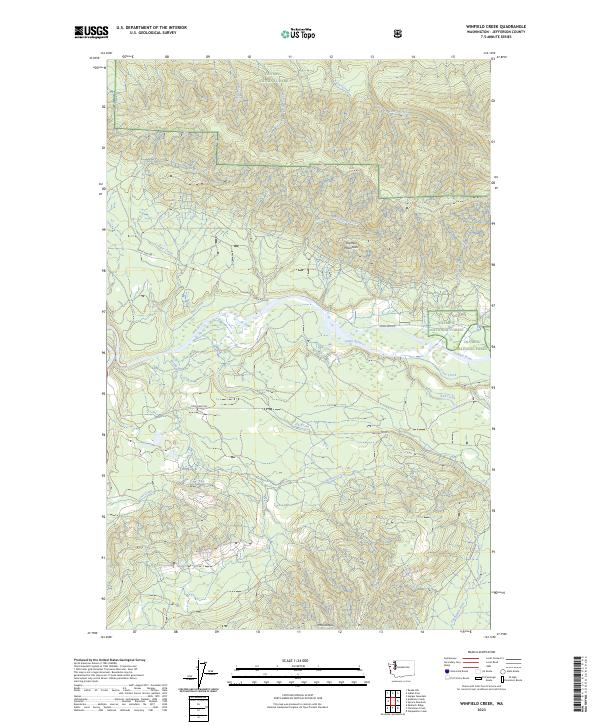
2023 Map of Winfield Creek
USGS Topo · Published 2023About this map
The Hoh River meanders through the heart of this landscape, flanked by the Olympic National Park to the north and the Olympic National Forest to the east. This 2023 survey illustrates a region defined by its complex drainage systems, where numerous tributaries like Winfield Creek and Elk Creek feed into the primary river valley. The map documents the high-elevation terrain of the Olympic Mountains, including the prominent summit of Mt Octopus in the south. Transportation in this timber-rich area is centered on the Hoh Mainline and Upper Hoh Rd, which provide access through the dense Olympic Wilderness. The map captures the current jurisdictional boundaries and watercourses, including the Snahapish River and several smaller creeks such as Devil Club Creek and Hades Creek, offering a detailed view of the modern topography of Jefferson County.
Find a feature on this map
26 named features on this map. Tap any name to fly to it.
Don’t see what you’re looking for? This feature index may not catch every label — zoom into the map to look around manually.
Map Details
Editions of this 2023 Winfield Creek Map
This is the sole edition of this map. No revisions or reprints were ever made.
Other maps of this area

1939 · Forks
USGS Topo · 1:62,500

1943 · Spruce Mountain
USGS Topo · 1:62,500

1943 · Copalis Beach
USGS Topo · 1:250,000

1951 · Copalis Beach
USGS Topo · 1:250,000

1956 · Destruction Island
USGS Topo · 1:62,500

1956 · Spruce Mtn.
USGS Topo · 1:62,500

1956 · Salmon River
USGS Topo · 1:62,500

1957 · Forks
USGS Topo · 1:62,500

1957 · Copalis Beach
USGS Topo · 1:250,000

1963 · Copalis Beach
USGS Topo · 1:250,000