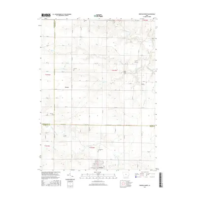
2015 Map of Winfield North
USGS Topo · Published 2015About this map
The agrarian landscape of Henry, Louisa, and Washington counties is defined by its numerous family and community burial grounds, illustrating the deep roots of the local population. Small settlements like Wyman and the northern edge of Winfield serve as anchors for a network of rural roads that follow the section lines of the Public Land Survey System. The topography is shaped by several watercourses, most notably Buffington Creek, which is crossed by the uniquely named Gripple's Quarry Bridge.
Find a feature on this map
74 named features on this map. Tap any name to fly to it.
Don’t see what you’re looking for? This feature index may not catch every label — zoom into the map to look around manually.
Map Details
Editions of this 2015 Winfield North Map
This is the sole edition of this map. No revisions or reprints were ever made.
Other maps of this area

1958 · Davenport
USGS Topo · 1:250,000

1961 · Davenport
USGS Topo · 1:250,000

1962 · Davenport
USGS Topo · 1:250,000

1970 · Cotter
USGS Topo · 1:24,000
1970 · Columbus Junction
USGS Topo · 1:24,000

1970 · Ainsworth
USGS Topo · 1:24,000
1981 · Cairo
USGS Topo · 1:24,000
1981 · Crawfordsville
USGS Topo · 1:24,000
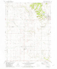
1981 · Morning Sun
USGS Topo · 1:24,000
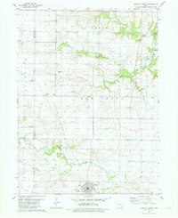
1981 · Winfield North
USGS Topo · 1:24,000